- Detailed roaming Thonon-les-Bains Grenoble with IGN maps
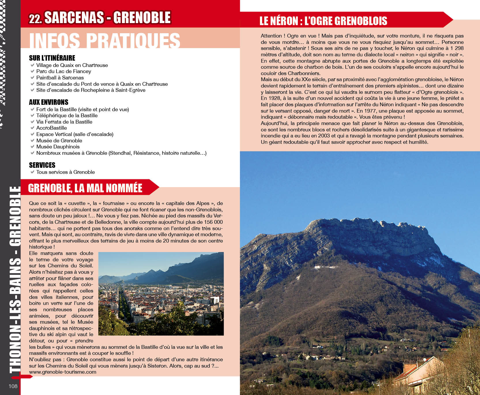
- A practical information booklet: region, point of view, services, heritage...
Thonon-Les-Bains - Grenoble
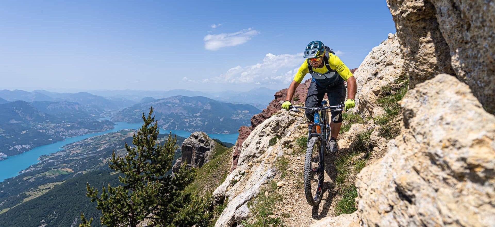
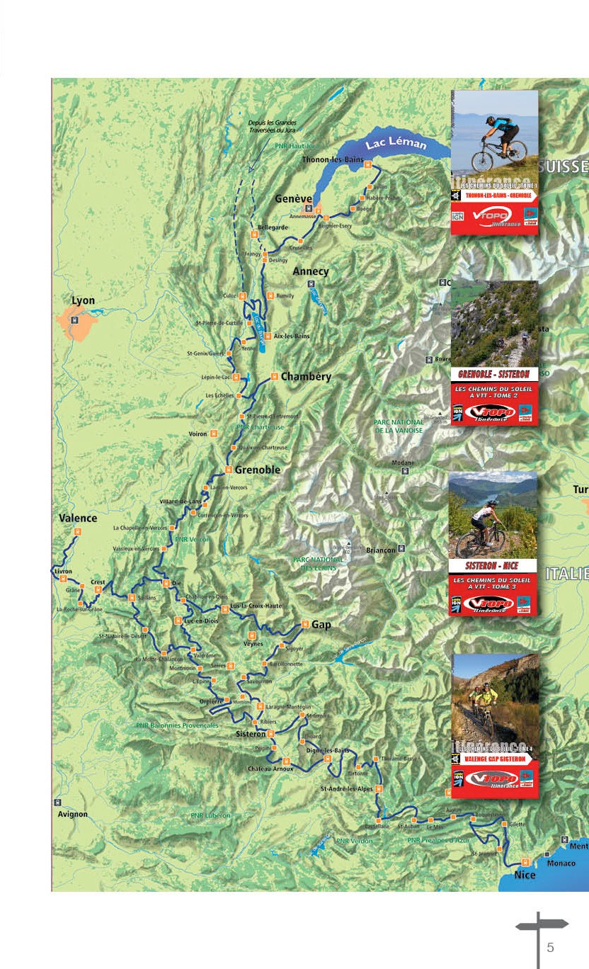
As soon as the snow melts, the Chemins du Soleil offer you two itineraries in the heart of nature to discover the Pre-Alps: from the Rhône valley to the Southern Alps, and from Lake Geneva to the Mediterranean. In total, more than 1500 km of perfectly marked paths, to meet the natural and cultural riches of the pre-Alpine massifs.
Labeled by the French Cycling Federation, this beautiful and long mountain bike ride during which you and your mount will not be spared, is usually done in stays of 5 to 7 days. But its sporty character should not put off fans of gentler hiking, because the many accommodations along the route make it possible to multiply the stages and, thus, to take the time to discover, at a more affordable pace, a territory, its inhabitants, surprising landscapes and heritages.
From Lake Geneva to Grésivaudan
Gateway to the Grande Traversée des Préalpes, the "Thonon-Grenoble" route, with its 340 km of trails, offers more rolling sections, greener and with many more fir trees than anywhere else on the route! The route, both rolling and fun, combined with judiciously positioned markup, guarantees maximum sensations and pleasure. As a bonus, many well-deserved stops are regularly improvised… such as swimming in the clear waters of Lake Geneva, Le Bourget or Aiguebelette. Depending on the slopes, the route offers many viewpoints over the Pre-Alps, in particular that of Chambotte. The route, relatively accessible, represents a good "warm-up" before embarking on the southern part of the Chemins du Soleil and is above all an incredible mountain bike trip. One two three ? Roll!
The cutting
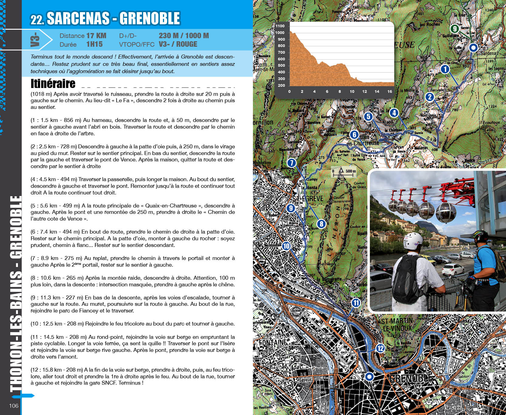
The Chemins du Soleil itinerary is divided into sections of 15 to 20 km and in no way corresponds to standard stages. The differences in levels between a regular practitioner and a very good mountain biker are such that typical stages would only satisfy some of the practitioners. It is up to each person to determine their stages according to their technical and physical level thanks to the information in this topo. However, several divisions are proposed on page 13.
- Pays : France
- Région(s) : Auvergne-Rhône-Alpes
- Département(s) : Haute-Savoie and Isère
- Format pratique 14 x 23 cm et léger 400 g
- Traces GPS au format GPX compatibes smartphones et GPS portables
- Des infos récurrentes très utiles : variantes, région, point de vue...
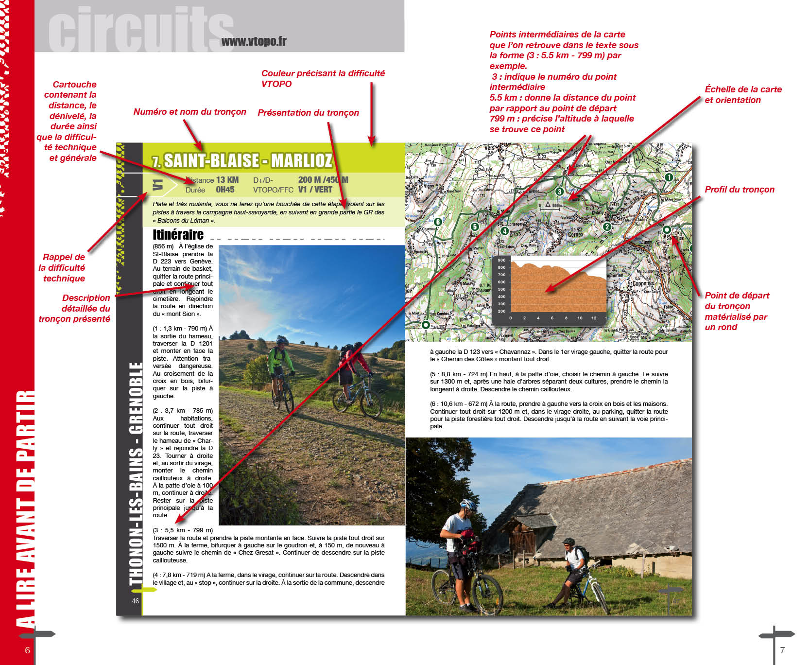
- Avec le système de cotation technique VTOPO de V1 à V6
- 128 pages en couleur
- Photos
- Langue(s) : French
- Auteur(s) : Great Crossing of the Alps
- ISBN : 9782916972466
- Date de parution : May 15, 2013
Livraison offerte (sauf MON AFGHANISTAN : un français au cœur des montagnes, livre de plus de 2kg) à partir de 60€ en France métropolitaine, Corse, Andorre et Moncaco. Tous les tarifs ici.
Expédié sous 48h dès parution.
Un lien pour télécharger vos Traces GPS vous sera envoyé par e-mail.
Les Traces GPS sont complémentaires du contenu des topo-guide VTOPO.
Nous vous déconseillons d'utiliser uniquement les Traces GPS sans la consultation du topo-guide en question.
Avec ce dernier, vous aurez accès aux niveaux de difficultés, à des recommandations, des précautions et à un descriptif détaillé, utile en cas d'erreur d'orientation. Vous aurez aussi la possibilité de visualiser des variantes et autres possibilités.

